Baker Hill
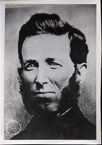
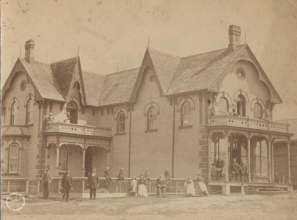
Baker Hill was named after the Baker family who were descendants of Jacob and Anne


Baker Hill was named after the Baker family who were descendants of Jacob and Anne
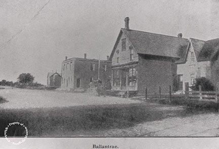
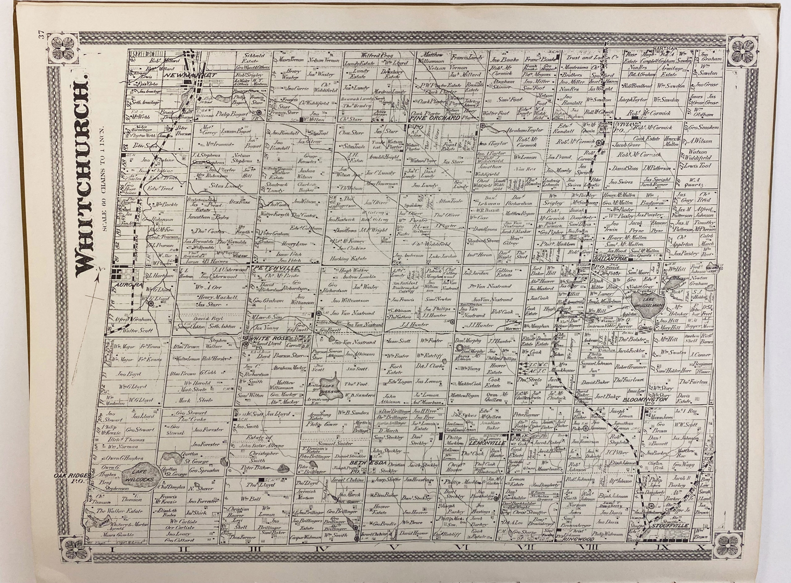
Ballantrae was settled in the early 1800s and became a busy economic centre for the
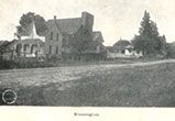
Bloomington, the community located at the intersection of Bloomington Road and Ninth Line, was named
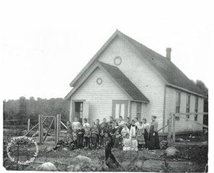
Sawmills and gristmills were early industries for Cedar Valley, operating with power from Taylor Creek.

This small German hamlet was once located at the intersection of McCowan (7th Line) and
The Lemonville community, located south of Bloomington Road on McCowan Road, was named after George
Lincolnville was located at the corner of Bloomington Road and Highway 47 and was divided
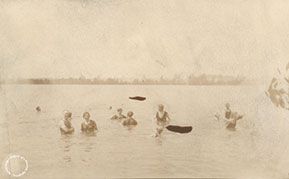
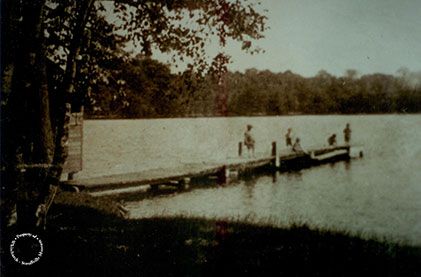
The community of Musselman’s Lake is named after the Musselman family who bought land surrounding
Pine Orchard, the community at Warden Avenue and Vivian Road, was settled in 1802 by
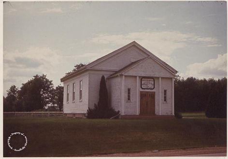
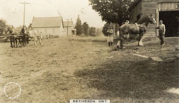
Known initially as Pleasant Valley, this hamlet was originally settled by Quaker families including the
Originally known as Reesor Lake and then Middleton Lake at the turn of the 20th
The small hamlet of Shrubmount was settled at the intersection of Davis Drive and McCowan
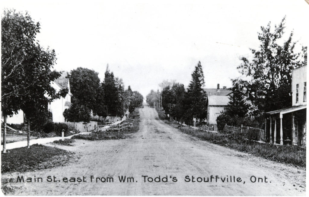
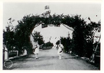
Initially a hamlet of Whitchurch Township, Stouffville got its name from Abraham Stauffer (Stouffer) who
The community of Wesley Corners, located at the crossroads of Woodbine Avenue and Aurora Road,